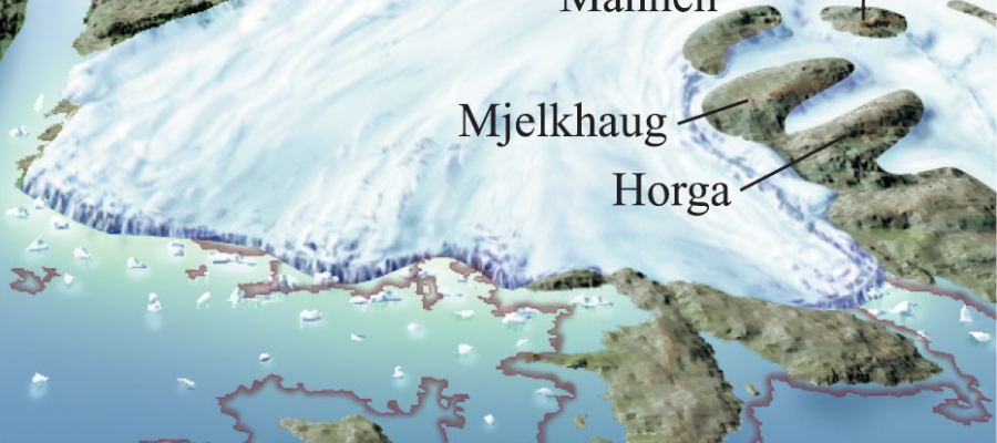
The glacier that calved in over Hardanger Fjord at the end of the last ice age deposited a lot of clay on the sea floor. On Valen shells have been found in the clay dating to 13 500 years of age. The sea level at that time was about 70-80 metres higher than today. When the climate got colder roughly 1000 years later, the glacier front advanced to the small islands that now exist as ridges and hills on Halsnøy (a in the diagram). The area to the south from Landåsen to Trollåsen by Sydnes was the biggest island. The glacier lay up on a clay-rich moraine ridge that bound the islands together. The largest meltwater river ran out between Klosterneset and Huglahammaren. There it deposited a ridge of loose sediments at depth in the water stretching right across the fjord, giving a roughly 100 metre-thick layer of sand and gravel on top of a similarly thick layer of clay.
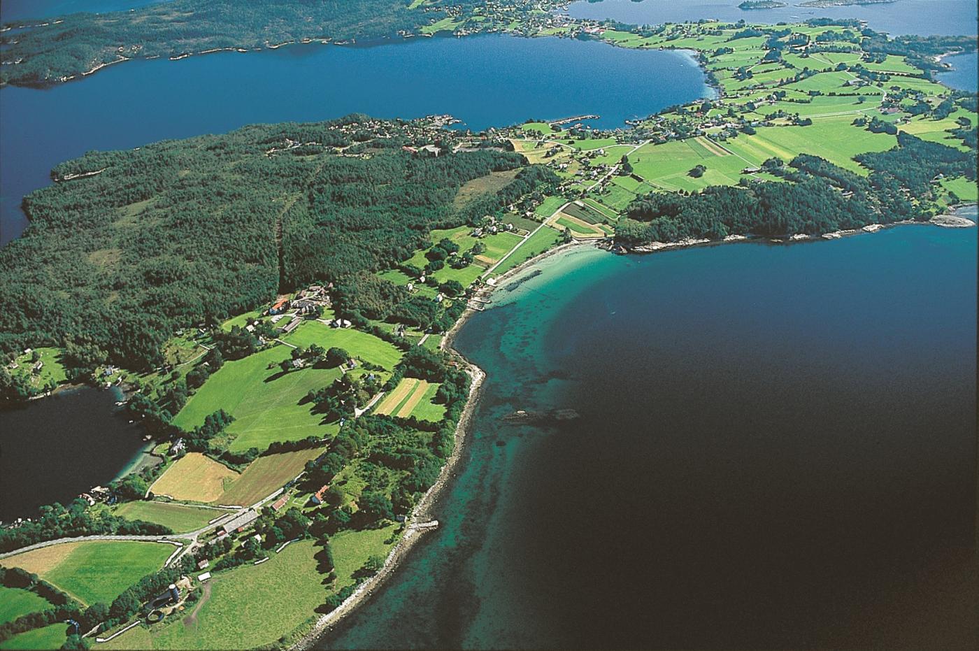
The most clay-rich moraine is found by the Halsnøy cloister, in the area near Eid southwest of Toftevågen. The clay is compacted together with stone and gravel. The stone and gravel sank down from the huge mounds of ice that had calved from the front of the glacier. Today's shorelines on Halsnøy vary from smooth bedrock or block beaches on the protruding spits, to sandy beaches in the bays. The beaches are the result of the interplay between the deposits left by the glaciers, and the power of the waves when they crash into land.
East of Landåsen, several glacier tongues stretched a distance to the south in small valley channels, where they deposited small moraine ridges. The glacier arm extending out of Høylandssundet did not reach over Svartaberg, but lay down a fine moraine ridge westward past Skata. The ridge is found as big blocks on the beach in the town of Høylandsbygda. Then, it crosses Høylandssundet and comes out on the mainland by Ersland.
Halsnøy was thereby formed by the advance of the mighty Hardangerfjord glacier. Marks from the glacier's edge can be seen along the sides of the mountains further in over the fjord in the form of distinctive side moraines or block belts in the valley bottom north of the Gygrastolen mountain at 965 metres elevation. From the ferry boat between Gjermundshamn and Løfallstrand we see block belts up on the horizon under Norlifjellet mountain.


