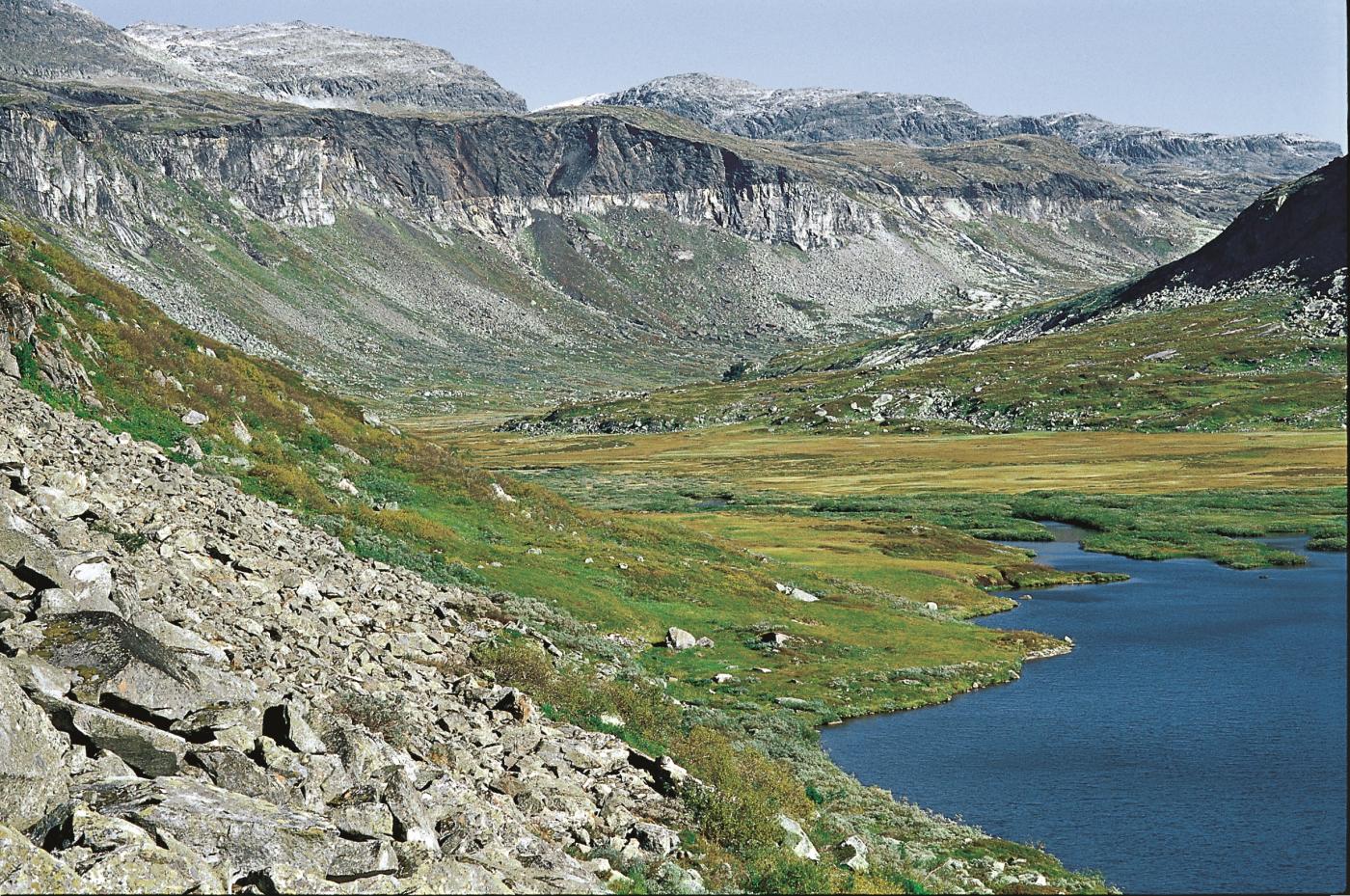
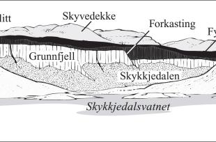
Lake Skytjedalsvatnet was carved by a glacier during the ice ages. The valley where this lake lies is a typical hanging valley; it leads into the precipitous southern side of Simadalen. The ice has exposed an exceptionally fine section through the Precambrian basement bedrock. This is most clearly visible in the north wall of Skytjedalen valley. The Precambrian basement lies underneath, with lighter granite rising up from the scree in the valley bottom. Phyllite from the Cambrian Period makes up the upper part of the steep slope of the mountain. The peaks in the background (Large Træsnuten and Jøklanutane) are both remnants of the thrust sheet that shoved its way onto the plateau during the collision with Greenland during the Silurian Period.
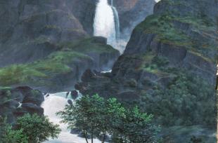
The boundary between the bedrock and the phyllite is almost even. If we let our eyes wander across the horizontal contact, we see that it makes a jump just west of the Skytjedalsfossen waterfall. The south side has sunk many metres along a sloping fault. In this area there are several such faults, breaking up the otherwise regular surface of Precambrian basement. The faults were created after the thrust sheet was fully emplaced – this is all we know about how old they are.


