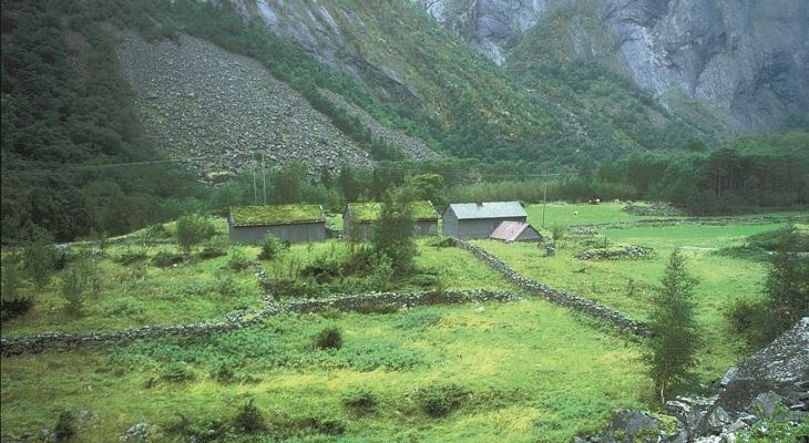
Måbø was probably a farm that was left deserted after the Black Death around 1350. A strong increase in the population in the 1600s resulted in many deserted farms, such as Måbø, again being put into use. The first mention of the farm is from a lease valuation in 1633. The farm was then the property of Halsnøy Monastery. In 1759 the two holders at Måbø became owner-occupying farmers. Måbø was populated and in operation up to the 1970s. The farmyard at Måbø is a small, longitudinal row with two holdings. Houses and hay-sheds are situated along the old packhorse path that runs through the yard.
The watering system was crucial in order to get good harvests at Måbø. Similar watering systems are also to be found in other areas with little precipitation. Artificial watering of fields and meadows was described in written sources in 1626, but the system is probably older. From a dam on the river Bjoreio the water was led in channels to the fields. From the main channel there were several distribution channels. At the intake from the river and at all the branches, there were casings with solid gates of wood. The water flow was distributed over the fields by regulating the gates.

