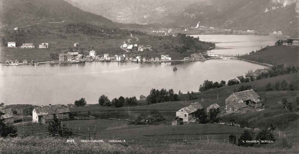
Norheimsund – the settlement which has grown up along the narrow sound – lies on the opposite side of Norheim farm. The picture is from the beginning of the 20th century. (Knud Knudsen, owner: Billedsamlingen, Universitetsbiblioteket i Bergen (KK 8124)).
Names in the Landscape
A TALE OF MAN AND THE ENVIRONMENT
The farm by the narrow inlet
If you travel through Norheimsund, you will notice the narrow inlet when travelling over the bridge where the seawater flows in and out of Movatnet. On the eastern shore of the inlet lies the Norheim farm, presently surrounded by several newer buildings. The fact that the last segment of the name - sund – refers to this inlet or sound is easy to imagine. Norheimsund is thus a name which is seemingly easy to comprehend. However, you may not be aware of that Nor also means narrow inlet! This word is found in many place names e.g. Norefjell and Noresund in eastern Norway. The name thus has nothing to do with the direction of “north”. Norheimsund actually means inlet twice. There was originally a settlement here (Old Norse (h)eimr) which probably as early as 1500 years ago was called Norheim; “the farm by the narrow inlet”.
The name of the municipality, Kvam, is also an ancient name. The name means a short, wide valley, which ends in a “wall” – a “kvam”. It is not difficult to deduce that this must be Steinsdalen, the valley beyond Norheim and Movatnet, that has provided the whole municipality with its name.
Drageid Canal on the neck of land between Henanger lake and Skogseid lake. The name is easy to understand when one is aware of the transport system in olden times Here they drew the boats over the narrow neck of land between the two lakes. The canal was built in 1897. (Svein Nord).
Ulriken is probably a corruption of the older Alrekr or “the looming hill which reaches high”. This name is the basis for the first syllable of the suburb name: “Årstad” (Svein Nord).
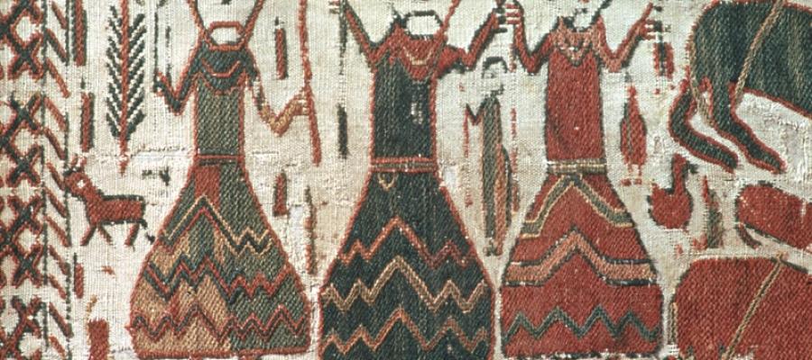
Odin Tor and Frøy represented on a Swedish tapestry from the 1100s. Place names that refer to names of old gods is a joint culture in Scandinavia. On the left is the one-eyed Odin, in the middle Tor with his hammer, and to the right, Frøy, the fertility goddess, who holds on to her ear of corn. (Teppe frå Skog kyrkje, Hälsingland, Riksantikvarämbetet, Sverige).
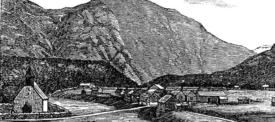
The terraces in Eidfjord between the lake and the background and the fjord in the foreground consist of an old seabed created by loose sediment from the glacial rivers. When the land rose it created an isthmus between the lake and the sea. The isthmus is divided into two by the river Eido, on the left Hæreid (the higher isthmus) and to the right Lægreid (the lower isthmus). In the Middle Ages the name Eiðar still existed. (from: Kjerulf, T. (1878) Stenriget og fjeldlæren, s. 280).
