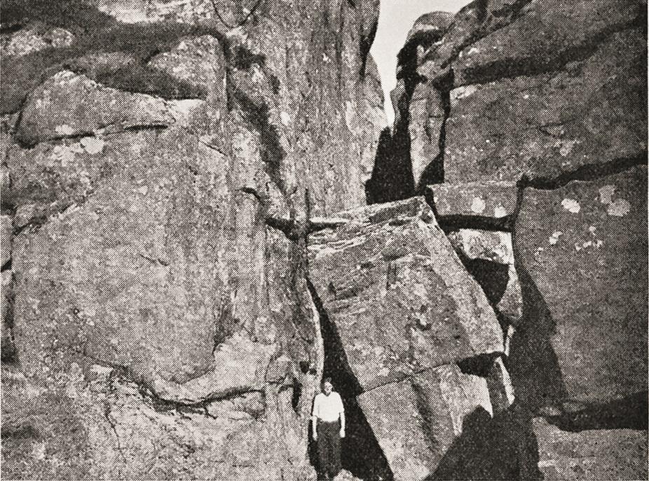
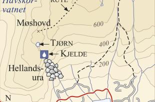
Should you wander over the mountain Møshovd some kilometres west of Eikelandsosen, you must be careful. Where the terrain flattens out at about 600 metres elevation above the steepest slope down toward Helland, there are several open cracks in the ground, up to 50 metres deep, 130 metres long and 2-6 metres across. The talus slope beneath the mountain, the Hellands scree, stretches several hundred metres up the slope and looks relatively "fresh". Is there any connection?
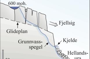
The cracks on Møshovd were formed when the uppermost layer of the mountainside (granite) seeped slowly into a layer of mica slate out toward the steep cliff, before the big piece broke off and fell down into the Hellands scree. The movements were concentrated a ways in on the part of the mountain that did not break off, where the cracks opened up.
This phenomenon is called "mountain seepage"; the mountainside seeps in periods of much rainfall, because the rain causes less friction. A tarn on the mountain does not have any visible outflow. The water runs down between the cracks and comes out in a spring with an even temperature just over the talus slope. How often there is a big talus slide, is unknown.


